People are always asking how much planning goes into these amazing runs that we have done (and are doing) across Europe and the answer is …. well not very much actually!
So lets introduce you to the secret of how we “plan” these adventures or as we prefer to call it “The Art of TrailBlazing”.
We do one of these marathon challenges every month so about a week after we get back from the latest escapade we pick a couple of places where we think it would be fun to run and which would give a buzz to our followers. Next we work out whether it’s feasible to drive there or whether we need to fly- we prefer driving as some of our funniest moments happen on the journey itself (like our encounter with the mad axe man of Picardy)! If we’re driving it’s always a night time ferry which has the advantage of being really cheap and normally empty – incidentally some very strange people travel on ferries at 3.00am but I suppose people say the same about us!
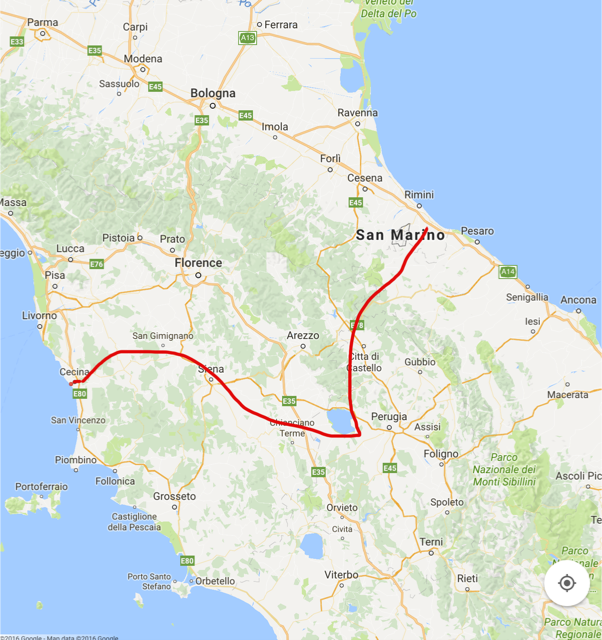
Now our state of the art satellite directional location finder equipment (aka satnav) comes into play. Sadly this only works in France, Spain and Monaco (I know – don’t ask!) so anywhere else it’s time to bring out our famous European Map (scale 1″ to 1,000 miles) which only seems to have Paris, Amsterdam, Brussels and some obscure village on the Swiss/Italian border marked on it. Using this superb map we did manage to drive the whole way to Lake Como on the wrong road but that’s another story.
When we do finally reach our destination it’s time to find a hotel and here trip advisor is your friend as you can always get last minute deals particularly as we tend to pick week days out of season.
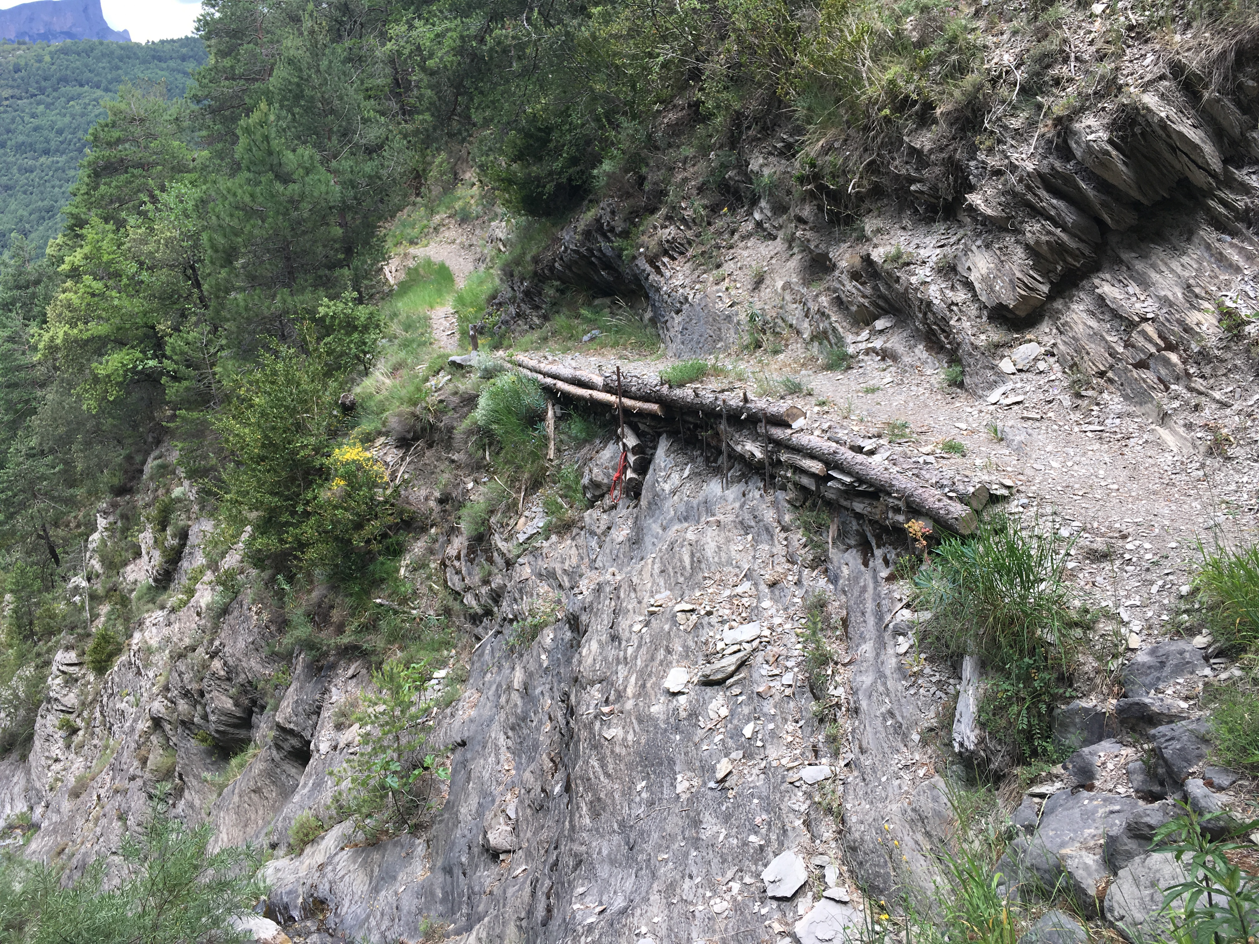
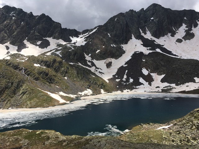
Then it’s on to the marathon itself – how we approach this depends on whether we are doing a “trail” marathon or an “urban” marathon. Normally a couple of days before we set out I fire up Google Earth and start getting a very rough route together. If it’s in the countryside (like Champagne) I look for lakes or rivers, woods, lots of green space or preferably a combination of all three. I check on the hills and whether there are likely to be any places that we can take on water – all our marathons are self-supported so this is quite important as we have found out to our cost!
For the urban ones I use a similar approach, getting a very rough route together incorporating landmarks and other points that we think our followers would enjoy and would look fun in the videos and pictures we take. Water is not a problem in cities but pee stops can be -we managed to clock up 10 euros in Bruges, what an expensive place to pee!!
So you’re probably thinking we use some whizzy phone app that plots out our route – er no actually! If it’s an urban marathon we use a hotel tourist map and for the off-road ones, well it’s even more sophisticated – we rely on my memory and the trail maps we find en route. This could explain why, in Lisbon, we ended up running on and across the busiest motorway in Portugal!
There’s no rest for the wicked though! Once the marathon is done it’s time to rejuvenate and then getting out and taking some pictures and videos for our followers and of course there is tweeting and Facebook too – phew!
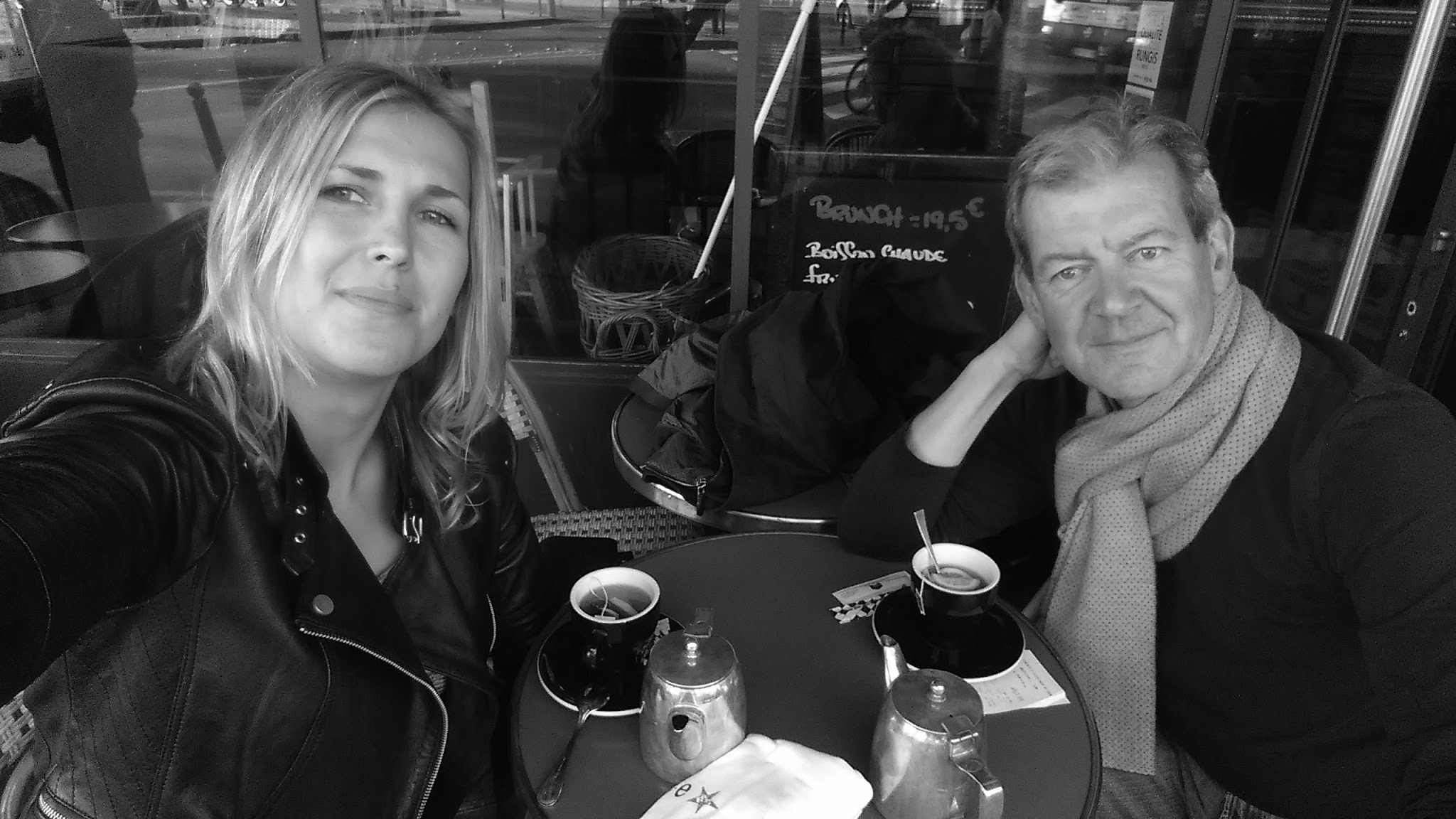
The day after the marathon it’s back to the UK although we sometimes get diverted en route. We once drove across France, through Switzerland and into Italy to Lake Como (day 1) then the next day we ran a marathon and in the evening drove to Milan. (Day 3) We took some videos and pictures in Milan to launch our fashion brand Aquamarato before driving through the night to catch the ferry. We made such good time though that we decided to stop in Paris for Breakfast (day 4) before belting back to make the afternoon ferry.
And that ladies and gentlemen is the art of TrailBlazing!
Leave A Comment